Everyday Hiking Hero: Peter Slingsby
Peter Slingsby needs little introduction. If you’ve ever had a desire to explore a new area in the Cederberg, Drakensberg or Table Mountain, you’ve most likely ended up drooling over one of his beautifully detailed maps. We had the privilege of asking him a few questions to get to know this self-taught cartographer and legendary character a little bit better.
HSA: Name, age, city/town where you live?
PS: Peter Slingsby, 73 (getting a bit ancient, hey). I live in Zandvlei, near Muizenberg.
HSA: Where and when did you start hiking, and who introduced you to it?
PS: I started hiking with my school friends while in primary school. We used to go up Table Mountain, probably Skeleton Gorge, and sleep out in the caves on Waaikoppie. I was about nine or ten years old then. My parents took me to the Cederberg when I was nine. Hard to say who actually took me on my first hike – friends like Jeff Leeuwenburg, Ferdi Fischer, Nick Forbes, and the late geologist John Moore. All became climbers, runners, and lifelong hikers.

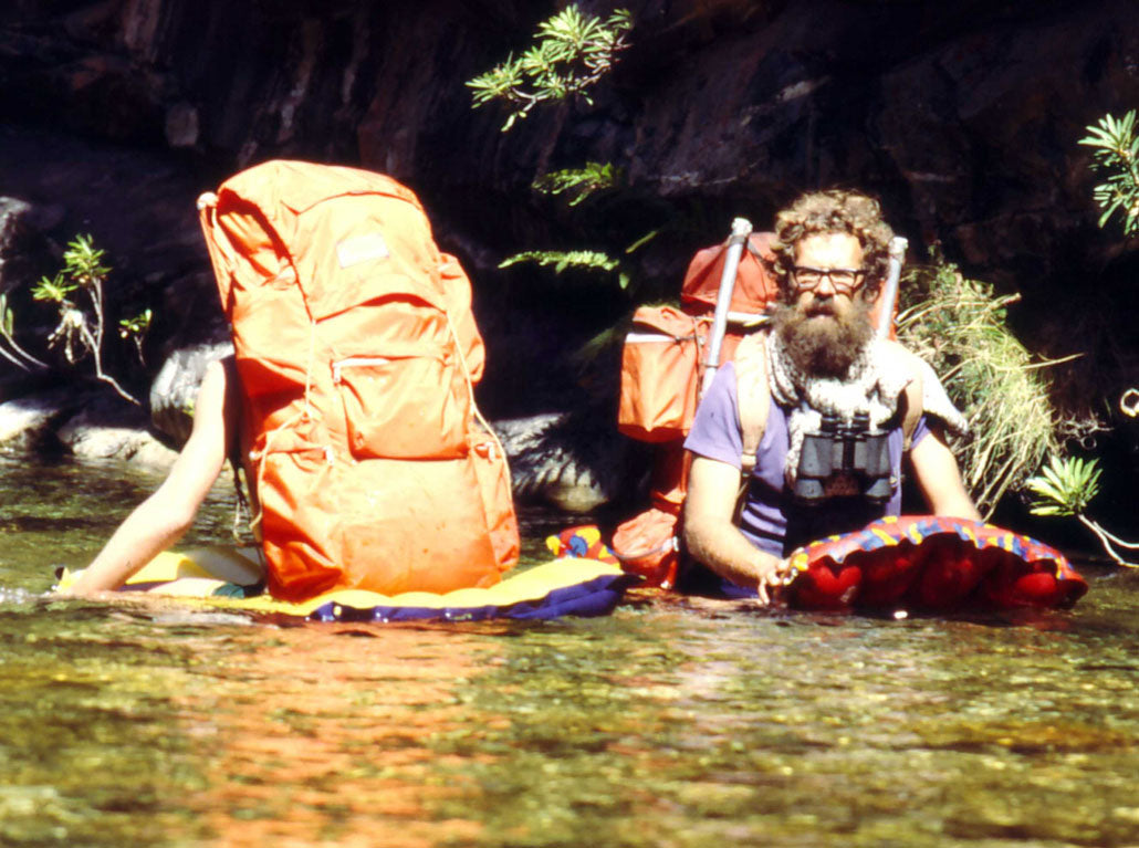
Hiking in the Cederberg.
HSA: You’re well known among hikers, bikers and 4×4 enthusiasts for your high-quality, informative maps. When and how did you get into cartography?
PS: In 1969 we hiked down the Witels River Gorge near Ceres. We were the first party through the kloof after the September 1969 earthquake. We had lots of adventures with aftershocks, rockfalls, veld fires and catching trout for supper in the pools. After the trip I drew up an annotated map with notes about all these things. Later I produced a cleaner version to sell to friends. It was my first ‘commercial’ map, and I’ve not looked back since. Jeez, that was fifty years ago!
HSA: You created the maps for the old National Hiking Way in the mid-1970s. Very few younger hikers know about it. Do you think it’s still possible to realise something like that in present-day South Africa?
PS: The concept was to create a system of trails from the west coast, down along the south coast and up through the Drakensberg to the Northern Transvaal – a sort of official ‘Rim of Africa’, with built paths and overnight huts. It fell under the Department of Forestry. The concept fell apart when Forestry land was devolved to provincial conservation departments. But many of those trails still exist – the Outeniqua, Hottentots-Holland, Otter Trail and so on. I can’t see any reason why the idea couldn’t be revived if the provinces could cooperate – and someone else could do the mapping!

Gifkommetjie: mapping the Cape Point Reserve.

Heiveld Arch: mapping the Koue Bokkeveld.
HSA: Are there any specific areas or hikes you’d still like to map?
PS: Back in the 1980s we mapped the whole of the Natal Drakensberg for the Department of Forestry. Our data and even my symbols were reused with little acknowledgment when these maps were reissued in the early 2000s. I’d love to remap those areas to modern standards – and it might still happen! There are many other areas I’d love to map, but realistically there just isn’t time.

In the fynbos, 1982.

Kloofing: the Steenbras River waterfall.
HSA: How often are your maps redrawn?
PS: We never just reprint our maps – they’re always revised and updated before reissue, usually every three years. Maps go out of date the day they’re printed, even hiking maps! Our latest Table Mountain map – edition #15, January 2019 – had over 200 changes from the previous one. Out-of-date maps can be dangerous, so now we even put a “Best Before” date on them! They’re waterproof, so you can always use your old ones to keep you dry.

Mapping Table Mountain.
HSA: Do you have any young cartographers in training?
PS: Sadly no. One of my sons is interested but he uses computer processes that are beyond me. I think interactive digital maps are the future, and our old techniques will fade away.
HSA: What does hiking mean to you?
PS: Hiking is the basis of everything I’ve done in my life. My cartography began on a hike and it’s stayed there. Maggie and I spent nearly twenty years involved in environmental education, based on hiking and camping in wild places. From my teenage years exploring rock art to studying fynbos with Maggie, all my lifelong interests connect back to hiking.

3000-year-old rock art in the Agter-Pakhuis.

Palmiet River valley, Kogelberg Nature Reserve.
To truly learn about our environmental heritage, you need to spend time in it – touching the leaves, watching the ants, reading the stars, spying on a grysbokkie as it grazes through the veld. You can only do these things on a hike; you have to put your feet on the ground and walk.

Left: The beauty of fynbos – Canary Bush (Aulax). Right: Karoo balbyter ants – Peter published the first Field Guide to Southern African Ants.
HSA: What is your favourite/most memorable hike?
PS: I’ve loved them all, but the 1969 Witels River hike was the winner. Not only did it kick-start my career, but the combination of rugged beauty and the drama of the earthquake and aftershocks can’t be beat. The sense of our insignificance against nature’s power still resonates with me fifty years later.

The rugged Hex River mountains with the Wit Els Kloof in the distance.
HSA: What is the trickiest position you’ve been in while hiking (and what did you do)?
PS: In 1975 we were caught by a flash flood on the Hottentots-Holland trail. We were getting everyone across the swollen Riviersonderend when the river started rising rapidly. We had to improvise a new crossing to get everyone back. It was wet, cold, and miserable, but we made it. In retrospect, we should have stayed put until morning!
HSA: What is your favourite piece of hiking gear?
PS: A torch that works. There’s nothing worse than being unable to see your way in the dark.
HSA: Who is your favourite hiking buddy and why?
PS: Maggie, of course. No one else comes close on a hike.

Peter and Maggie at Dalebrook.
HSA: Any tips for beginner hikers or aspiring cartographers?
PS: Whatever you do, enjoy yourself. And if you’re not enjoying yourself, get out of there and do something else.
Simon Pocock made this beautiful video about Mr Slingsby…
To find out more about the stunning maps that Peter and Maggie produce, visit slingsby-maps.myshopify.com.