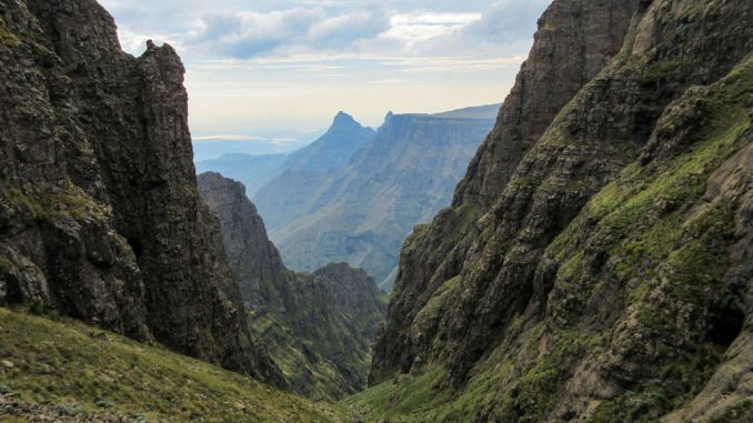
Pass name: Pins Pass
Region: Mnweni, Norther KZN Drakensberg
Distance from the parking to the top: 22km
Difficulty: Extreme (10)*
Scenery: Spectacular!
Route type: No trail, a bit of boulder hopping
Risks: While there is nothing technical about this pass, it is
exceptionally difficult and only experienced hikers should attempt it.
* Most Drakensberg passes fall into the extreme difficulty category. To differentiate the “easy” ones from the harder ones, a rating out of 10 is included after the extreme rating.
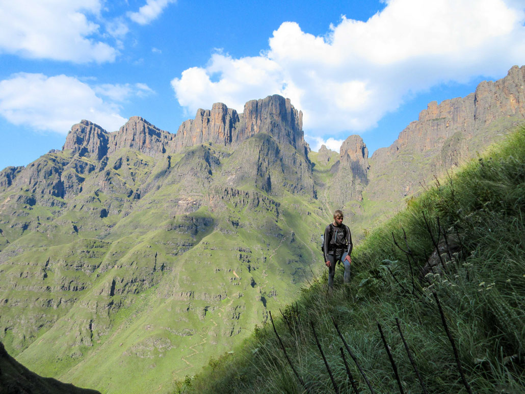
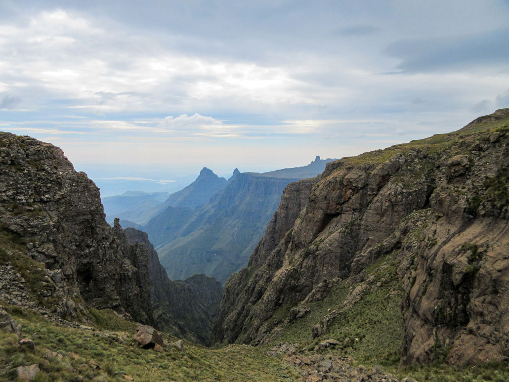
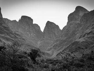
Pins Pass is named for the Mnweni Pinnacles that tower above the pass. The route goes right below them, meaning that you don’t get the best view of them on the route, but you are surrounded by cliffs and have a great view towards Mnweni Pass.
Getting There
From Johannesburg:
Take the N3 Durban bound till Harrismith. Take the turnoff to Clarens, and follow this for about 10km, before taking the R74 Bergville offramp. Follow this road till the town of Bergville, where you will turn right towards Rookdale. Shortly before the road crosses the dam, there is a turnoff to your left marked for a police station, take this turn off.
Watch for a right hand turn off marked amaNgwane (Mnweni) Cultural Centre, take this turnoff. After a fairly long distance, the centre will be on your right, shortly after crossing a large concrete bridge.
From Durban/Pietermaritzburg:
Take the N3 Harrismith bound. At the Bergville/Colenso offramp, turn left to Bergville. Follow this road till the town of Bergville, where you will turn left towards Rookdale. Shortly before the road crosses the dam, there is a turnoff to your left marked for a police station, take this turn off.
Watch for a right hand turn off marked amaNgwane (Mnweni) Cultural Centre, take this turnoff. After a fairly long distance, the centre will be on your right, shortly after crossing a large concrete bridge.
Route Description
The pass is approached via the trail to Mnweni Pass. It is very easy to get lost on this if you don’t know the route, so best to take a guide from the Mnweni Cultural Centre, or hike with someone who knows the area.
At Chi-Chi Bush Camp (which is barely large enough for two tents), leave the Mnweni Pass route and follow the riverbed till you reach the gully.
Directions are given for a team ascending the pass, this route is not recommended for descent. Take the river course until you hit the first waterfall, then break left onto the grass bank. Hold the grass bank for the remainder of the route.
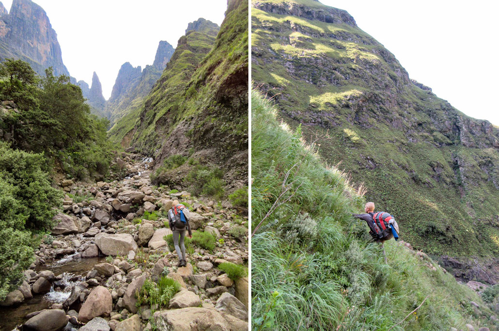
The line up the pass will be fairly obvious for an experienced hiker. Boulder fields are occasionally crossed, but don’t pose any difficulty.
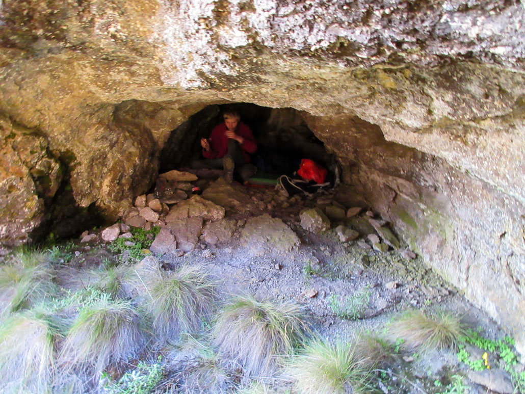
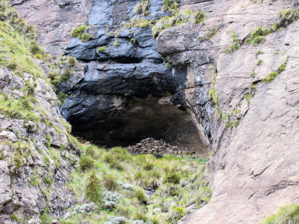
Near the top of the pass, there are two caves. The lower one – Lamb Skull Cave – can sleep 4 at a push, and is up a bit of a scramble. The higher cave, which is more commonly used and doesn’t require a scramble to reach, is called Pins Cave and sleeps 8.
The debate over what is the hardest non-rock pass in the Drakensberg has raged for decades. I am of the opinion that Pins gets this title, beating out other contenders such as Icidi, Ships Prow and Minaret. The pass starts below 2000m and tops out at almost 3200m, it does not relent and is very difficult to cover at any sort of speed. This is not a route to be taken lightly!
Essential Gear
The route does occasionally get snowed up, which would make it fairly technical, especially seeing as it is south facing. Otherwise the standard Drakensberg gear is required.
For more information on hiking in the Drakensberg, check out Jonathan’s intro article: An Introduction to Hiking in the Drakensberg
Two other very useful websites, when planning a hike in the Drakensberg, are drakensberghikes.com and www.vertical-endeavour.com.


Great to have these detailed descriptions with the pictures as well! Can’t wait to get back to the Berg.
Love the difficulty description. On two visits to mNweni Pass (once up, once down) I have marveled at Pins and thought “One day when I am feeling even madder.” Definitely added to the list of ‘Berg hikes.