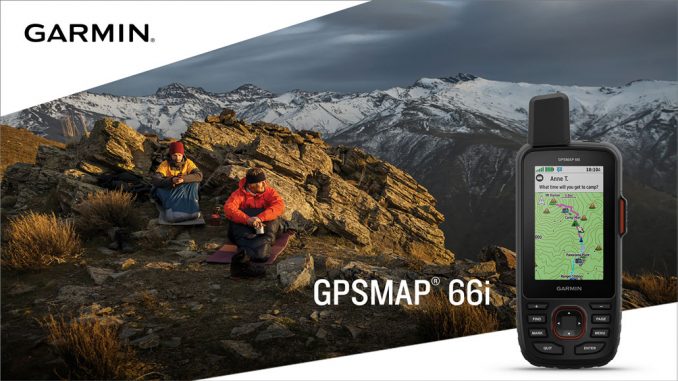
Garmin’s flagship handheld navigator meets global communication with new GPSMAP® 66i
Garmin® International, Inc. recently announced the GPSMAP 66i , the frequently requested handheld combining Garmin’s premium GPS navigation with inReach® satellite communication technology. Stay in touch with friends and family using GPSMAP 66i as a satellite communicator with two-way messaging and a 24/7 SOS function. Explore seamlessly with a large 3’’ sunlight-readable color display, preloaded routable TopoActive maps, and direct-to-device, wireless BirdsEye Satellite Imagery.

“We’ve listened to our customers and the GPSMAP 66i gives them exactly what they’ve asked for, combining our industry leading GPSMAP 66 navigation with our industry leading inReach satellite communication,” said Dan Bartel, Garmin vice president of global consumer sales. “Adding inReach technology to our GPSMAP 66 series will revolutionize outdoor exploration.”
The 66i offers two-way messaging and location tracking, so no matter how “off the grid” the trip may be, users can stay in touch. Using the worldwide coverage of the Iridium® satellite network, the GPSMAP 66i allows users to communicate with any cell phone number, email address or other inReach device, while using GPS to track and share progress of the journey. If the 66i user enables LiveTrack, those at home wanting to follow along can view the user’s location on their MapShare page.
The GPSMAP 66i lets the user trigger an SOS to the GEOS 24/7 emergency response team for interactive support in the case of an emergency. GEOS is the world leader in emergency response solutions and monitoring. Not only will GEOS respond to the SOS and track the device, and contact the necessary emergency responders, GEOS will notify the user’s contacts and continue to message back and forth, providing updates and critical information until the situation is resolved. Whether exploring year round vs. only for the season, or wanting lots of data vs. a just-in-case emergency plan, Garmin offers a variety of flexible subscription plans to choose from.
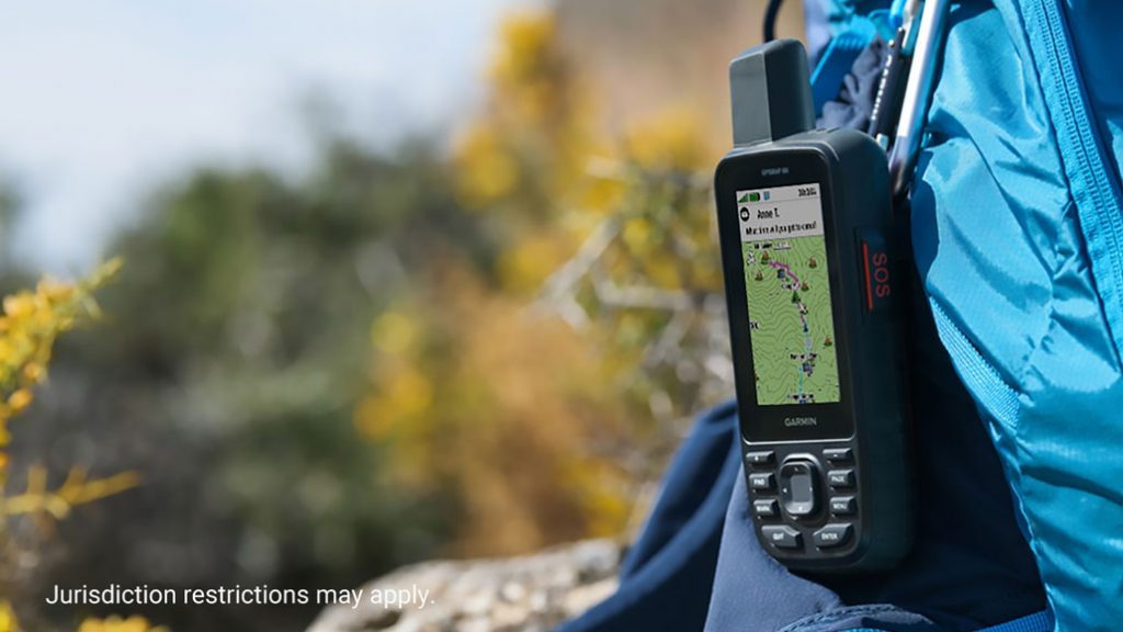
With direct-to-device downloads via Wi-Fi® of BirdsEye Satellite Imagery, users can see high-resolution photo-realistic views of their route. Easily find parks, trailheads, clearings for campsites, stand locations for hunting and more. Plus, the GPSMAP 66i comes preloaded with routable topographic maps so users can see where they’re headed in more detail, like coastlines, rivers, summits, terrain contours and geographical points.
The rugged GPSMAP 66i is constructed to U.S. military standard 810G for shock, vibration, and water resistance (rated to 1 meter) and ready for any adventure, even the longer treks with Expedition mode. Get up to 35 hours of battery life with 10 minute tracking turned on, and up to 200 hours in Expedition mode with 30-minute tracking intervals. With support for GPS and Galileo, combined with altimeter, barometer and compass navigation sensors and Garmin maps, users can feel confident exploring even in the most challenging environments.
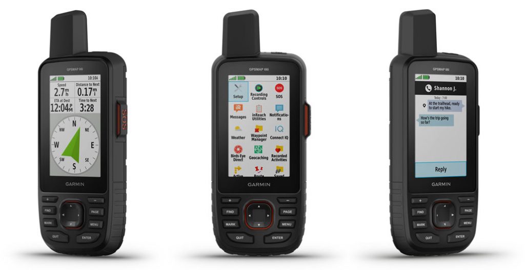
Compatible with the Garmin Explore™ app, users will be able to access additional tools and features for outdoor navigation, trip planning, mapping and data sharing. This allows users to type using the keyboard on a mobile device for inReach messages and access phone contacts. GPSMAP 66i is also compatible with Garmin wearables like the fenix 5 Plus series, Instinct, Taxtix Charlie and MARQ Expedition for viewing messages, replying and initiating an SOS while the device is secured in a pack.
The GPSMAP 66i will be available in the US in June 2019 with a suggested retail price of $599.99.


Very nice!
any recommended/affordable retailers in the cape?
The 66i isn’t available in SA yet, but for all other Garmin handheld devices, NavWorld are generally very well priced: https://shop.navworld.co.za/